We made it!
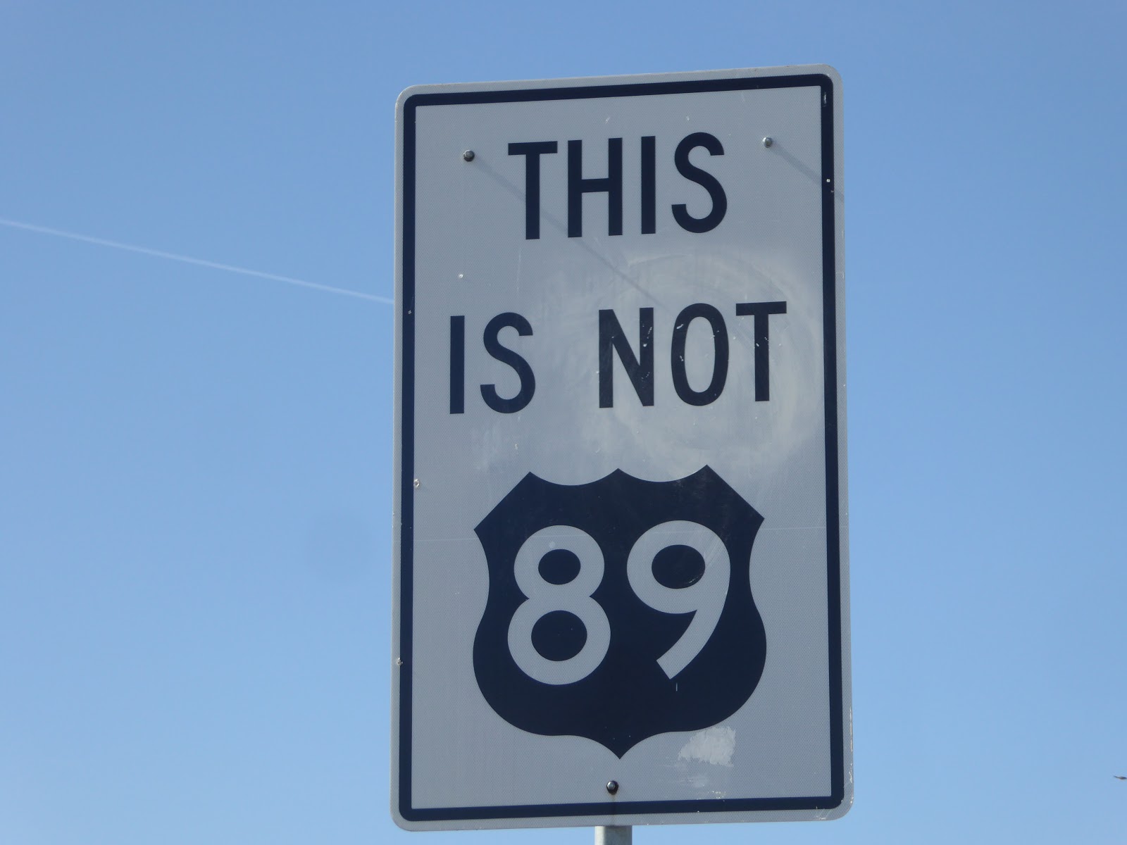
Driving across Nevada reminds me of our drive across the Yukon. You can drive a very long time and not see a house or gas station. We like to go different directions each time we pass through an area but were starting to question our choice on highway 140. I started mentioning that it would be a long bike ride to a gas station when the truck said we had enough gas for 130 more miles in our extra large fuel tank and Lake City was another 50. Highway 140 seemed to constantly climb with a head wind and only an occasional lone cow along the road. As we came to the crossroad of Adel, we hoped that the gas station that looked very old was still functional. We were in luck.
Driving across Nevada reminds me of our drive across the Yukon. You can drive a very long time and not see a house or gas station. We like to go different directions each time we pass through an area but were starting to question our choice on highway 140. I started mentioning that it would be a long bike ride to a gas station when the truck said we had enough gas for 130 more miles in our extra large fuel tank and Lake City was another 50. Highway 140 seemed to constantly climb with a head wind and only an occasional lone cow along the road. As we came to the crossroad of Adel, we hoped that the gas station that looked very old was still functional. We were in luck.

Klamath Falls, OR
We weren't far from Crater Lake in Klamath Falls but had already made that stop previously. Besides, they had just gotten a big snow and the sun was shining in the valley. It seemed the perfect opportunity to check out the OC&E rails to trails through southern Oregon's farm country.

It turned out to be a very nice ridde with a chilly start.


 |
| Old railroad snowplow on the OC&E Trail |
 |
| Mt Shasta in the background |
Oregon Caves National Monument, OR

The 20 mile drive from Cave Junction to Oregon Caves is a steep and winding road that took 40 minutes to drive. The fresh air got cooler as we climbed.

The cave has a consistent temperature of 44 degrees with water dripping from the ceiling and plenty of bugs. I wore my hoodie to keep my hair dry and bugless. We saw quite a few Two harvestmen bugs on the walls as we passed through. They look like daddy longlegs but are not spiders and seem to pulsate on the walls. There were also Springtail that are a clear white color and can jump 20 times their length.. I was glad they were very small.


The paths were narrow with low ceilings for a half mile and over 500 steps with steep grades.

As we walked through the cave, we could see the fault lines which reminded us that we were definitely underground.

Our Ranger Guide, Ethan, was very informative and passionate about his job. Each tour is limited to 12. Fortunately, once we remembered to reserve a tour, there were 4 spots available. Our group was 10 and not many more people would have fit through the small spaces.

The Cliff Trail

After our cave tour, there were several hikes that we would mind taking but weren't thrilled about the drive back up the mountain. (It really wasn't that bad). So we took the Cliff Trail hike which was very nice.

Cave Junction

We had heard that Taylor Sausage was the go to place in Cave Junction. They did not disappoint. After having a tasty lunch, Mike hit the meat counter and left with a full bag and bellies.
 |
| Tiny wildflowers on our hike |
Our next morning, we knew we wanted to take a hike and found a short trail along Rough and Ready Creek. The official trail was 0.6 miles but at the end there were more trails that we followed along for a nice morning walk. The warm temperatures after the weeks of rain gave way to many beautiful wild flowers. The tour guide at the next museum we visited told us that this area has the most diverse flora in the world.

After our hike, we stopped at the Smokejumper Museum. The tour guide was a smokejumper in his younger days and quite interesting.

An entire building was used for sewing and folding parachutes and garments. It was one of the most important places since they were making sure that everything was safe. Well, as safe as they could be back in the day.


During World War II, Japan's military thought the winds could save them since its scientists had discovered that a westerly river of air flow, the “jet stream”—could transport hydrogen-filled balloons to North America in three to four days to mainland US. For two years the Japanese military produced thousands of balloons with skins of lightweight, but durable, paper made from mulberry wood that was stitched together by schoolgirls. Using 40-foot-long ropes attached to the balloons, the military mounted incendiary devices and 30-pound high-explosive bombs rigged to drop over North America and spark massive forest fires that would instill panic and divert resources from the war effort.
What U.S. military investigators sent to the blast scene immediately knew—but didn’t want anyone else to know—was that the strange contraption was a high-altitude balloon bomb launched by Japan to attack North America. Citing the need to prevent panic and avoid giving the enemy location information that could allow them to hone their targeting, the U.S. military censored reports about the Japanese balloon bombs.
Ultimately, Fu-Go was a military failure. Few balloons reached their targets, and the jet stream winds were only powerful enough in wintertime when snowy and damp conditions in North American forests precluded the ignition of large fires. The only casualties they caused were the deaths of five innocent children and a pregnant woman, the first and only fatalities in the continental United States due to enemy action in World War II.
This "Moon Tree" came from seeds that were taken to the moon by astronaut and former Oregon smokejumper, Stuart Roosa.
This stop at the museum turned out to be very informative and interesting. We could have listened to stories all day.
Kerby, OR
Kerby is just 2 miles from Cave Junction. We knew that we needed to stop at It's a burl. Boy were we glad we did, with 4 treehouses to climb and burl swings all around to entertain us.


We went inside of the shops to see some pretty amazing art and craftsmanship.


That is quite some mirror.

It has been quite a week as we head on down the road to the Redwoods.