South Central Utah!
Grand Staircase-Escalante National Monument spans approximately one million acres of America's public lands. the Monument is a diverse geologic treasure speckled with monoliths, slot canyons, natural bridges, and arches. Due to its remote location and rugged landscape, the monument was one of the last places in the continental United States to be mapped.

Grand Staircase-Escalante was reduced by nearly 47 percent through a presidential proclamation in 2017 (and the nearby Bears Ears National Monument was reduced by 85 percent). This move flies in the face of a 100-plus-year legacy, taking the public lands that belong to all of us and opening them up to being sold to private industry, most commonly oil, gas, coal, logging, grazing, and development.
I can't imagine watching as the land is developed for these causes. It is truly a masterpiece.

We can't be tourists all of the time since this is our lives. Our stay in Escalante City, a small ranching town nestled along Utah’s Scenic Byway 12 is always a treat.
We enjoy walking from the campground on the edge of town to our favorite Organic food store for fresh baguettes, tomatoes and mozzarella. With only 850 residents, the largest town for 70 miles in all directions bringing a unique charm to this corner of Southern Utah. This part of Southern Utah is famous for its slot canyons — twisting, turning narrows carved into the rock by water and wind over the millennia. We skipped the hiking for reading and catching up on what was happening in the world. And of course a visit to Georgie's food truck was is order.
Escalante Petrified Forest State Park is just 2 miles out of town on a lake and only $16/night for full hookups. which would have also been a great place to stay.
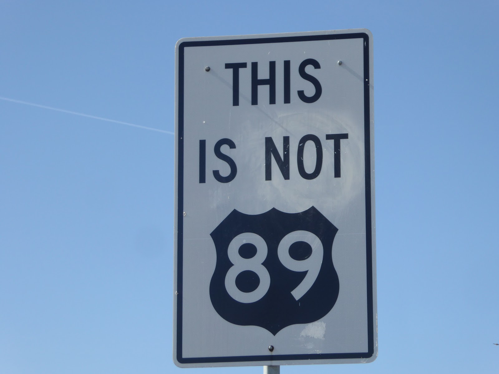
Bryce Canyon National Park
As we entered the gate to Bryce Canyon National Park, the ranger asked what our plans were for our trailer. Fortunately we had reservations. We arrived early and lucked out, the people from the previous
night were pulling out as we arrived.

We got a tip from Laura and Kevin that write https://www.chapter3travels.com while visiting a National Park, to get out later in the day for that hike to avoid the crowds. We arrived at the Fairyland Turnout and waited a few minutes for a parking space plus it was getting cooler and the shadows from the setting sun made some nice pictures.

Queen's Garden Trail to Navajo Trail

We got an early morning start on our hike from Wall Street on the Navajo Trail to the Queen's Garden. It was 39 degrees as we were leaving the campground but we were removing our layers in no time.
Many people looked like they were in over their heads as they walked down the trail. The Queen's Garden is considered the easiest but at least one person a day needs to be rescued from this trail. One older lady in her bedazzled flip flops, no water and not conditioned for the 8000 feet elevation looked like she would be the one assisted by the park's rangers out of the canyon that day.

Going down.

With two choices up the Navajo Loop, .6 miles on the Two Bridges side or we chose the .7 mile Wall Street side. Yet I still stopped frequently with the excuse to take another photo.


We dropped rapidly into the hoodoos


The slot canyon at the bottom of Wall Street.


A hoodoo that, presumably, resembles a statue of Queen Victoria provides a “destination” for the 1.8 mile round trip down and up of the Queen’s Garden trail. It’s a 500 foot side
trail right after a human-made tunnel through a hoodoo wall.


When we walked to the trailhead from the campground and there was plenty of parking available. But was packed on our return. We were tired and opted for a shuttle which took us to the visitor's center. We could have stayed on and ridden to Ruby's Inn and then back if we wanted to be sure to have a seat. We thought no problem and stopped at the visitor's center.
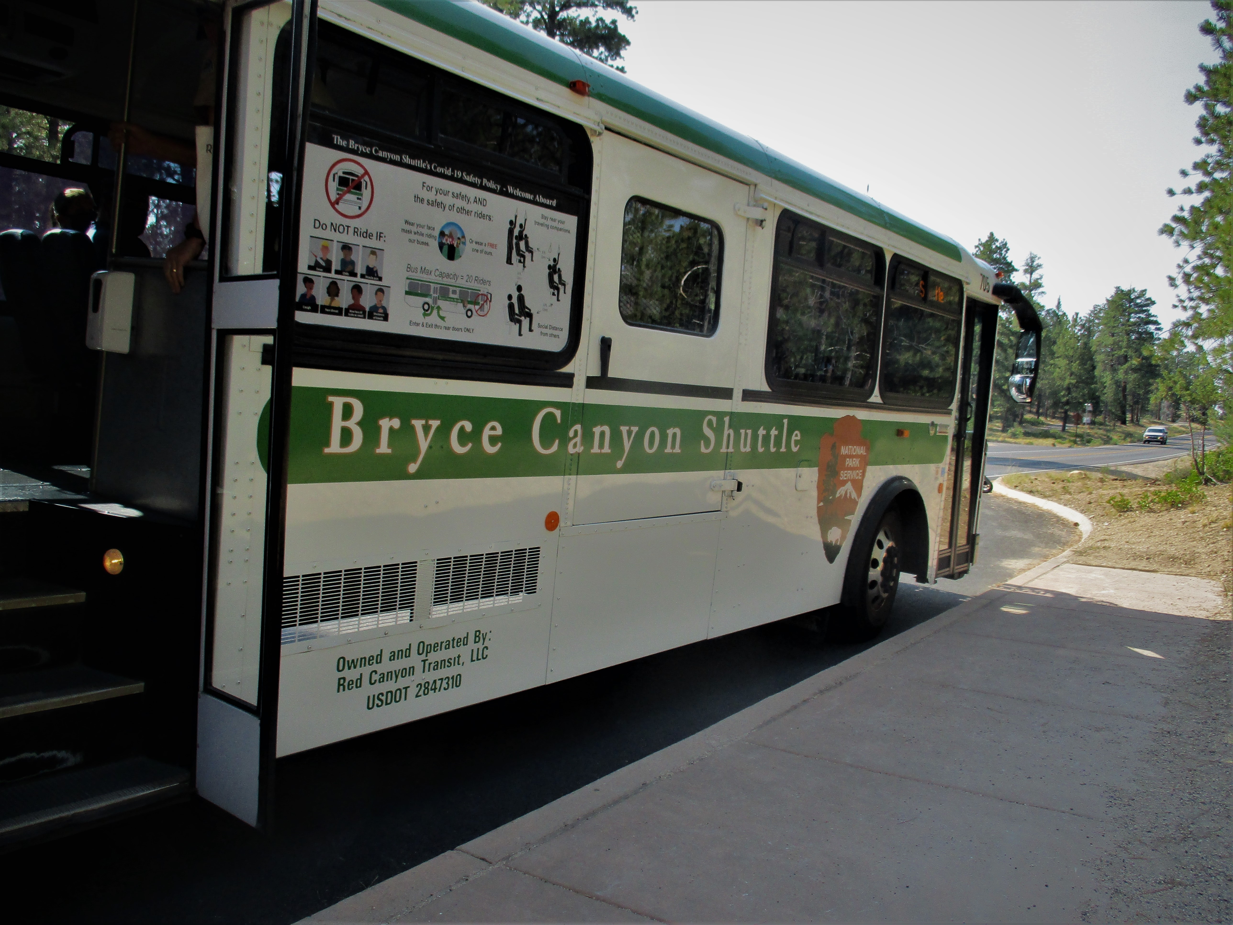
The shuttle buses run every 10-15 minutes with half of the seats removed, windows open and people wearing masks. The only problem is trying to get on at the visitor's center after the bus was full from Ruby's Inn. We were second in line after a group of four in front of us. The door opened and a park staff person said they only had room for two. I quickly said we would go if they didn't want to take the seats. There were 18 more people waiting as we drove away.

The 8 mile Red Mountain Bicycle Trail runs through the scenic red Canyons, known as Little Bryce and connects to the path through Bryce Canyon. The trail is surrounded by towering cliffs and pines forest.


That was a jam packed few days. We were glad to have gotten a couple of days in the Park's campground but thought Red Canyon NF campground looked great right along the bike path. On to Kanab for a little rest and refueling.