Columbia River Gorge
A large section of the country had been dealing with a heat wave while the PNW was having a cold snap as we prepared to head south. Now we are in Utah preparing for a cold front from the North.

Taking one last bike ride through Willamette Mission before packing up, a Barred Owl swooped over my head landing in a tree near us. We were surprised how long he stayed in the tree watching us watch him before flying off.

Oregon State Parks were originally roadside parks for picnicking and not camping. Viento State Park nestled between the highway and railroad tracks in the Columbia River Gorge was our first stop.

There are so many hiking opportunities in the Gorge. We had previously stopped for a hike on Labor Day weekend but made a hard pass when we saw all of the people lining up. This time, we chose the 1.3 mile climb up along Multnomah Falls then along the Lark Mountain Trail for some amazing views and very few people.


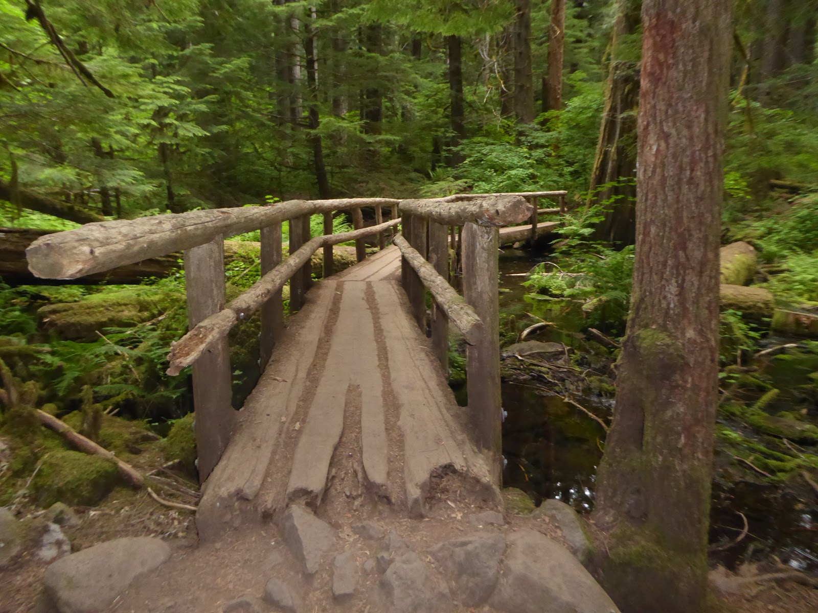
Mosier Twin Tunnel Trail
The old Columbia River Highway was closed to traffic when it was found unsafe for cars and was opened to hikers and bikers! The winding route of this historic highway hearkens back to a time when roads were designed for Sunday drives along the scenic Columbia River Gorge. Set high above Interstate 84, the old highway offers views in every direction.

We rode the Mosier Twin Tunnel Trail past vineyards and orchards to Rowena for 24 miles. My wrists were so sore from breaking on the downhill after 6 miles of climbing. I don't like to ride faster than 24 mph downhill. You never know where the next pothole might be.
A bikeway from the Dalles to Troutdale is to be completed by 2020. Much of the Troutdale bike path section has already been completed.
 |
| Mosier Tunnels |
 |
| Rowena Crest |

It is a slow and winding road from Rowena to the Crest but slow and steady got the job done.

Baker City, Oregon
We had driven by Baker City several times in the past but never stopped. It was a short 70 mile drive from Emigrant Springs State Park, another noisy campground on the highway and I wanted to visit the Oregon Trail Interpretive Center.

The National Historic Oregon Trail Interpretive Center offers living history demonstrations, interpretive programs, exhibits, multi-media presentations, special events, and interpretive trails.
As the morning warmed up, we hiked the 4.2 miles of trails to the actual ruts carved by the pioneer wagons. Then we sampled the Dutch Oven stews that were being judged in the cookoff.

Using life-size displays and a film theater presentations, this Center tells the story of Oregon Trail pioneers, explorers, miners and settlers of the frontier west. The 500 acre site includes remnants of the historic Flagstaff Gold Mine.


 |
| Blacksmith with his coals and anvil demonstrating for us. |
 |
| We made it to the ruts. |

The Great Salt Lick Contest started when Whit Deschner realized the used salt blocks around his friend’s cabin bore a resemblance to abstract sculptures he’d seen sold for exorbitant amounts of money. He devised a plan to display, judge, and auction off the blocks to benefit Parkinson’s research.
People leave the 50-pound blocks of salt outside, and the artists—horses, cows, deer, and goats—use their tongues to carve them into beautiful works of art. The best works are rewarded with cash prizes, ranging from about $50 to $150. Blocks at the auction can go for even higher sums; the current record is $1800.

The Great Salt Lick Contest and Art Auction has been going strong since 2006. It’s been so successful, the city opted for a public monument to honor the event.
Deschner carved the four-foot sculpture out of styrofoam with a piece of wire attached to a battery charger. It’s a replica of a people’s choice winner from a past auction.

We had ridden the northern section of the La Grande Scenic Bikeway's 134 miles last summer. By staying in Baker City, we could ride some of the southern portion which covers some of the route traveled by pioneers on the Oregon Trail while taking in the mountain views of the Elkhorn Range, the Blue Mountains and the Eagle Caps of the Wallowa Mountains.
After our ride, we stopped at the Sweet Wife Bakery for some quiche before riding back to the campground.

Mike got his coffee and returned to our table in Sweet Wife Baking. I had already dug in (it's hard to be patient and polite after a bike ride when he is doddering around) and told him that he had to try my quiche. It was sooo good! He was quick to point out that I was eating his ham and gruyere quiche and the other was my roasted garlic and veggie selection. Oops.

We are bracing ourselves for a blast of cold air from the north as we head into Capitol Reef.