Heading to the high desert
The landscape changes dramatically as we traveled towards the Cascades from the green agricultural Willamette Valley to the high dry plains with pines and sagebrush. The air is much drier making our Canasta cards no longer stick together.

Staying at Sisters Creekside County Campground on the edge of Sisters was a great location close enough for us to walk around the town, drive to some nice hiking on the McKenzie River Trail and Smith Rock or just visit Bend. Driving into Bend wasn't as pleasant as the rest but we managed to accomplish our required tasks.
 |
| Detroit Lake |
 |
| Mt Jefferson and its glaciers |
| Washington state requires fingerprinting before a person can volunteer in WA. We made an appointment at the police station in Bend. Having been fingerprinted several times in the past when I got a nursing license in a new state and it always went smoothly. This time, it took over an hour for both of us. They tore up several cards because they didn't like how they looked and a new fellow was training. I hope the cards we walked out with were ok. One reason we decided to volunteer in Oregon or Washington is they only require 30 days and are very nice states to visit. Many other states require volunteers to stay the entire season. We are a little too itchy to stay that long. Even when I was a traveling nurse three months was pushing our outer limit of time to stay someplace other than when we were in Alaska and Seattle and we extended a couple of months.  |
| Mike getting fingerprinted |

McKenzie River Trail
We used our hiking project app to find a hike on the McKenzie River Highway. Boy, was it a treat. Three waterfalls and a blue pool. We continually saw the influence of the volcanos from many years ago on this area.
 |
| Sahale Falls |

The Waterfalls Loop Trail hike along the McKenzie River to Sahalie and Koosah Falls is about 3 miles long for hikers and mountain bikers with foaming white water cascades in between.


 |
| Koosah Falls |

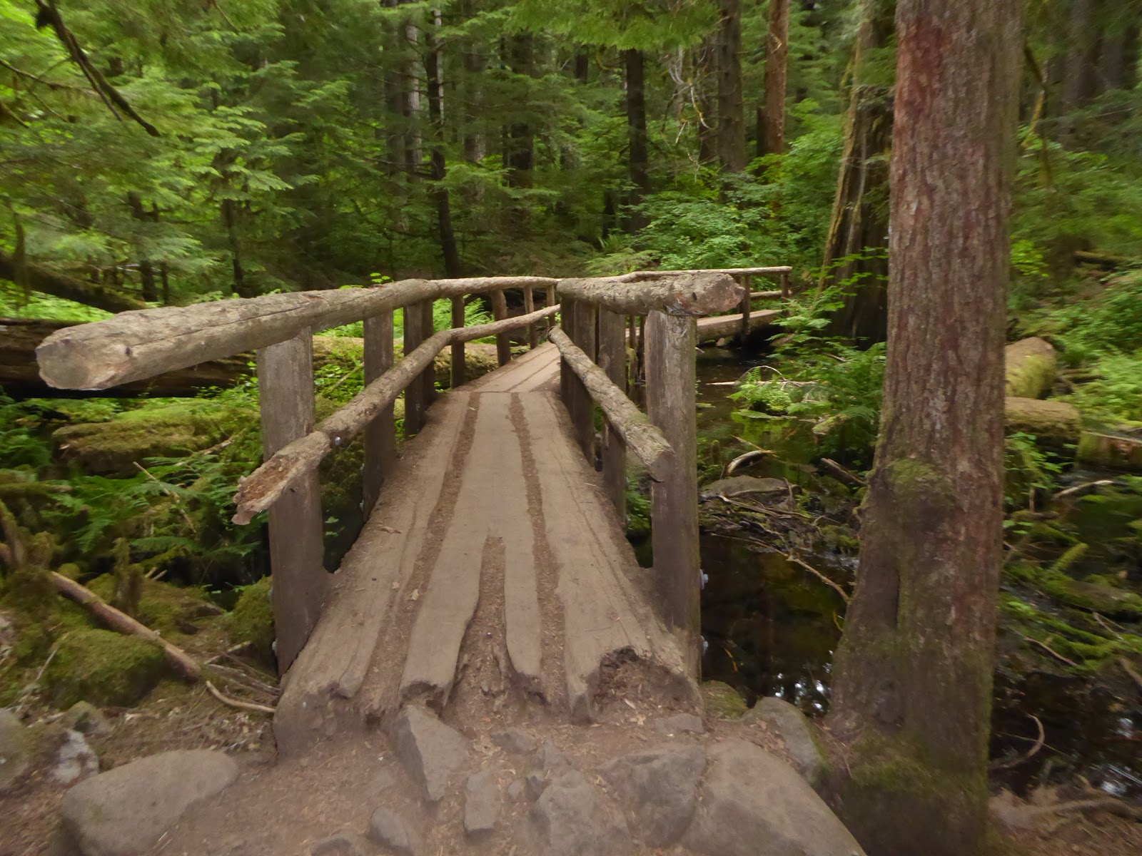
The 25 mile McKenzie River Trail is a favorite of hikers and extreme mountain bikers. As we walked along, we could see that it must have taken a great deal of effort to build and maintain the trail.

Before reaching Blue Pool, the McKenzie River goes underground a few miles up stream when the flow is lower. The river only flows over the falls a few times a year, the rest if the time the water emerges from the rocks underwater in the basin of waterfall pool.
The topaz colored water is so clear that is seems to be only about 5 ft deep but in many spots its over 30 ft deep. The waterfall ledge is a favorite for jumping on a hot summer day. You can hike over the waterfall ledge and find a trail that leads you down to the side of the pool when the waterfall is dry.
 |
| Tamolitch Falls and Blue Pool |

The rhododendrons bloom later in the valley.


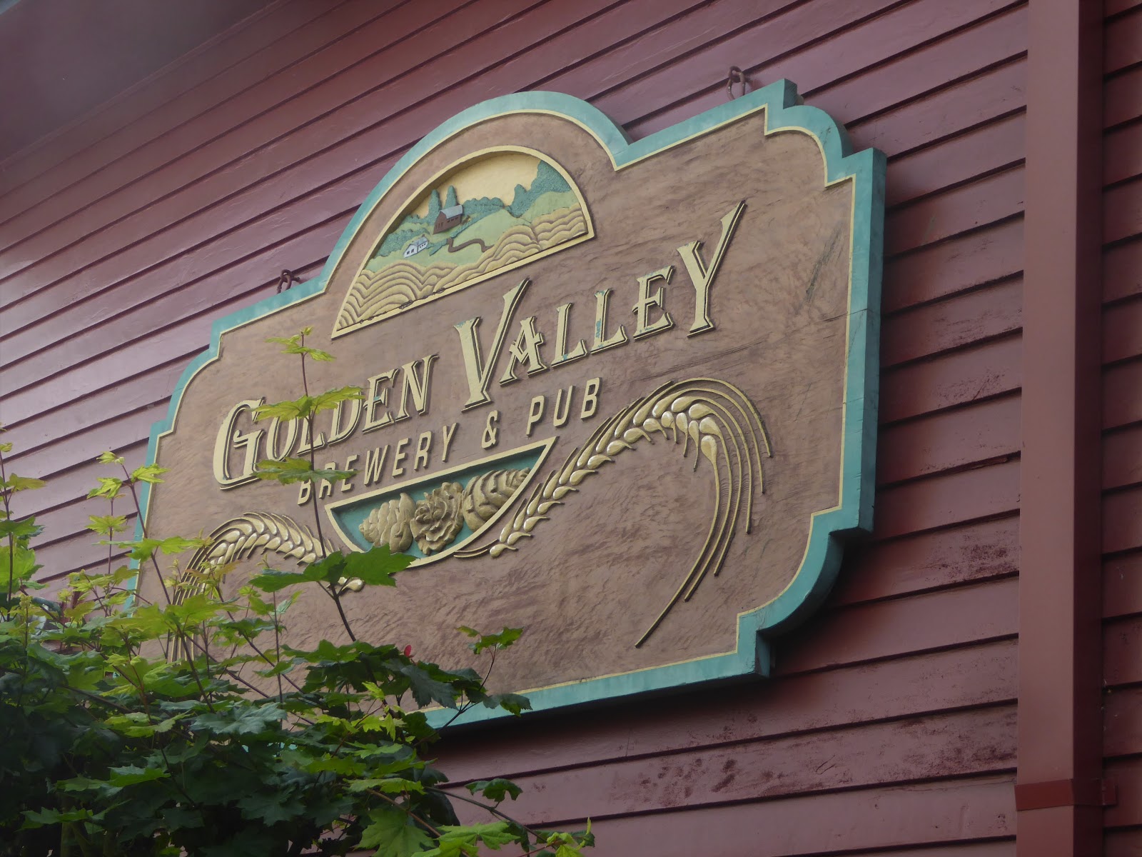
The campground on the edge of town was a great location for walking to the farmer's market and breweries.
 |
| Music at the farmer's market |


It can be difficult to find a cycling route when we arrive in a new location. We often checkout the local cycling clubs which are often welcoming to visiting cyclist to join a ride. Usually, they list their rides and cue sheets on their websites. Another resource is the local bike shops. They are often good about giving us information or copies of their ride sheets for a small fee or free. If I feel uncomfortable with the roads and cycle lanes, we take a drive to scope out the roads and traffic conditions ahead of time. It is not worth not enjoying ourselves and feeling like we
might die. We have only called a ride a few times and that was due to poor planning or heavy rain.
We had a few nice rides during our ten day stay with many more easy to moderate routes left unridden.
Smith Rock State Park

Smith Rock State Park's spires rise above the Crooked River and is known for rock climbing with routes for levels from beginner to expert. As we hiked, we had the opportunity to watch not only beginners but the expert climbers. A volunteer was also present at the visitor's center with his spotting scope and let us look at a number of golden eagle's nests and was very informative. This made our short list of places we would like to volunteer in the future.

The volcanic evidence is all around central Oregon.


You have to love a place where the people in the restaurants have hat hair and look like they have been outside hiking, cycling or rock climbing. Everyone looks tired and happy. The food was fresh and locally grown. The fresh air from hiking made the food and beer taste even better.
 |
| On mile steep hike up Misery Ridge to the top. |
When my children were small and would wake up in the middle of the night, I would get them settled back to sleep then head to the back deck with a warm blanket to look at the stars for 10-15 minutes before returning to bed my self. Even now, I still like to go out and listen to the quiet night when we are away from the lights of the cities. Last night at 3 am, we were both awake. (It could have been because I dropped something on the floor that made a crash noise when I got up.) The stars were out after many cloudy nights. We sat in our loungers with a down blanket and listened to
the breeze through the trees. A shooting star or comet with a long tail shot across the sky. Does it get any better than that?