Saturday, October 10, 2020

Northern Arizona

Taking our time

Flagstaff

Spending 5 of past  the past 6 winters in Arizona for work, we would make a brief stop in Flagstaff. With no reason to rush to Mesa and  record heat, we booked three night at the Flagstaff KOA. Hiking the Fatmans Loop Trail from the campground was a delight with plenty of rock formations and views.

 We had spent so much time away from cities, I was ready for Pita Jungle carry out.
It was quite tasty but Mike is such a good cook and it is nice to sit outside and enjoy our meals at home like in the "olden days"..


Sheri Basey thought this might be Fatman's mask.

As we were finishing our hike, it seemed that everyone in Flagstaff were hitting the trail and the parking area was packed.

Lake Mary

Lake Mary Road is the go to place for Flagstaff cyclists and little traffic. There are three campgrounds on the way to Lake Mary and we chose USFS Pine Grove Campground 17 miles from Flagstaff. We weren't sure what kind of place we would find but the road and sites were paved. There was water available and no hookups. Our hope was for trees to keep us cool. It is Arizona after all.

Next time, we will stay here longer than 3 nights to enjoy the local trails and ride a few more miles.


Lower Lake Mary was a small puddle since the drought is severe and campgrounds very dusty . The next campground was for small tents and trailers. But Pine Grove was just right. Plenty of shade from the towering pines and lots of space. USFS are a great deal on the pocketbook too.
The short time we spent on the Arizona Trail was quite appealing to the eye and feet. It ran by the campground.
We also hiked Sandys Canyon Trail and the Arizona Trail which was not difficult until it was time to climb out of the canyon as it was warming up.


Cottonwood, AZ

Arizona has such nice state park campgrounds. Dead Horse Ranch State Park in Cottonwood is a treasure. We even scored trees on both sides of us! 

The story of the park's name begins with the Ireys family, who came to Arizona from Minnesota looking for a ranch to buy in the late 1940s. At one of the ranches they discovered a large dead horse lying by the road. After two days of viewing ranches, Dad Ireys asked the kids which ranch they liked the best. The kids said, “the one with the dead horse, dad!” The Ireys family chose the name Dead Horse Ranch and later, in 1973, when Arizona State Parks acquired the park, the Ireys made retaining the name a condition of sale.

After spending so much time in small remote towns where groceries are expensive and limited, we got giddy over the Fred Meyers.
Once the sun went down, we headed outside for the evening. But as it got dark, the skunks would come out. Our neighbors would call out "skunk coming through". One couple was so upset by the skunks that they left after one night.
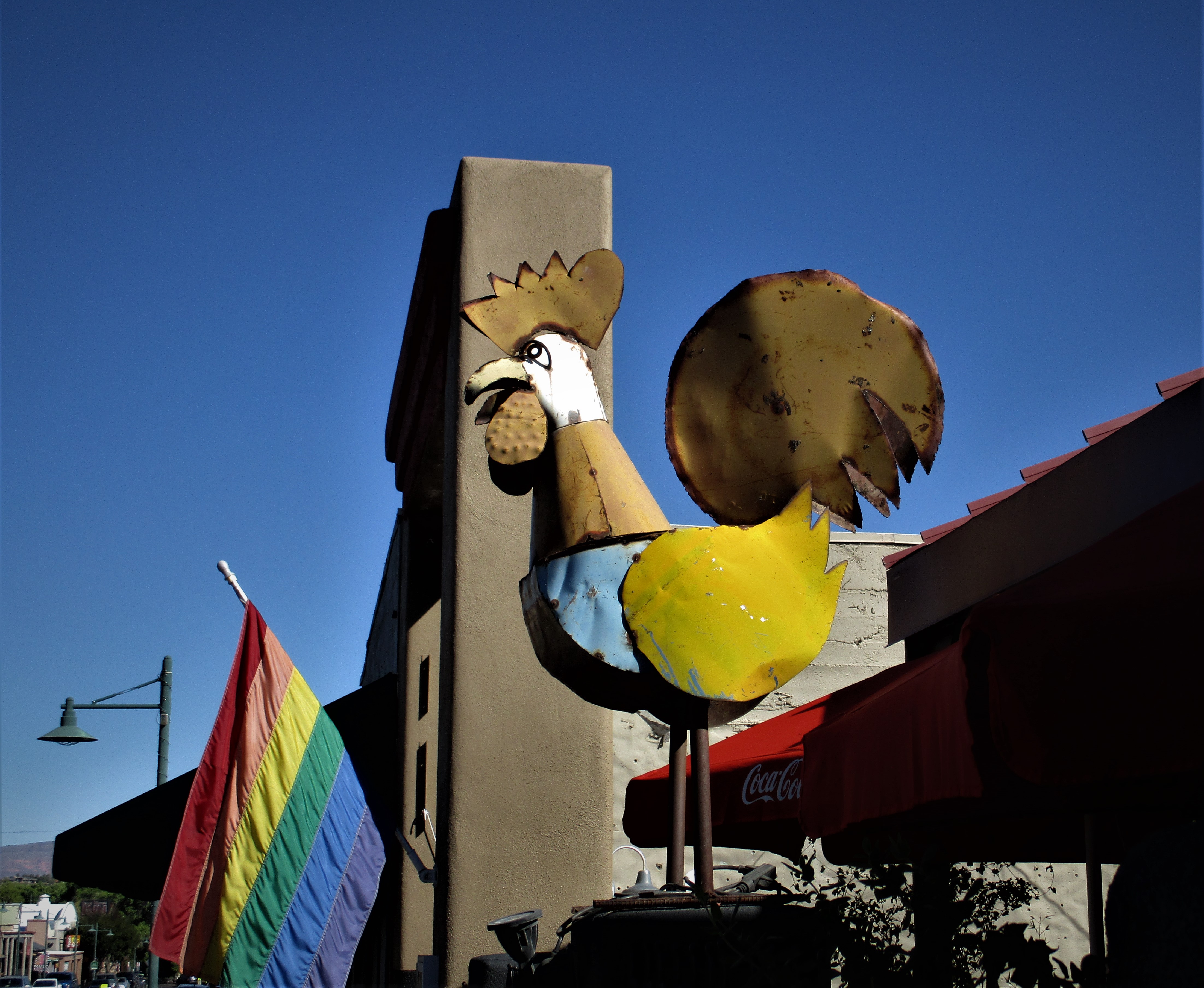
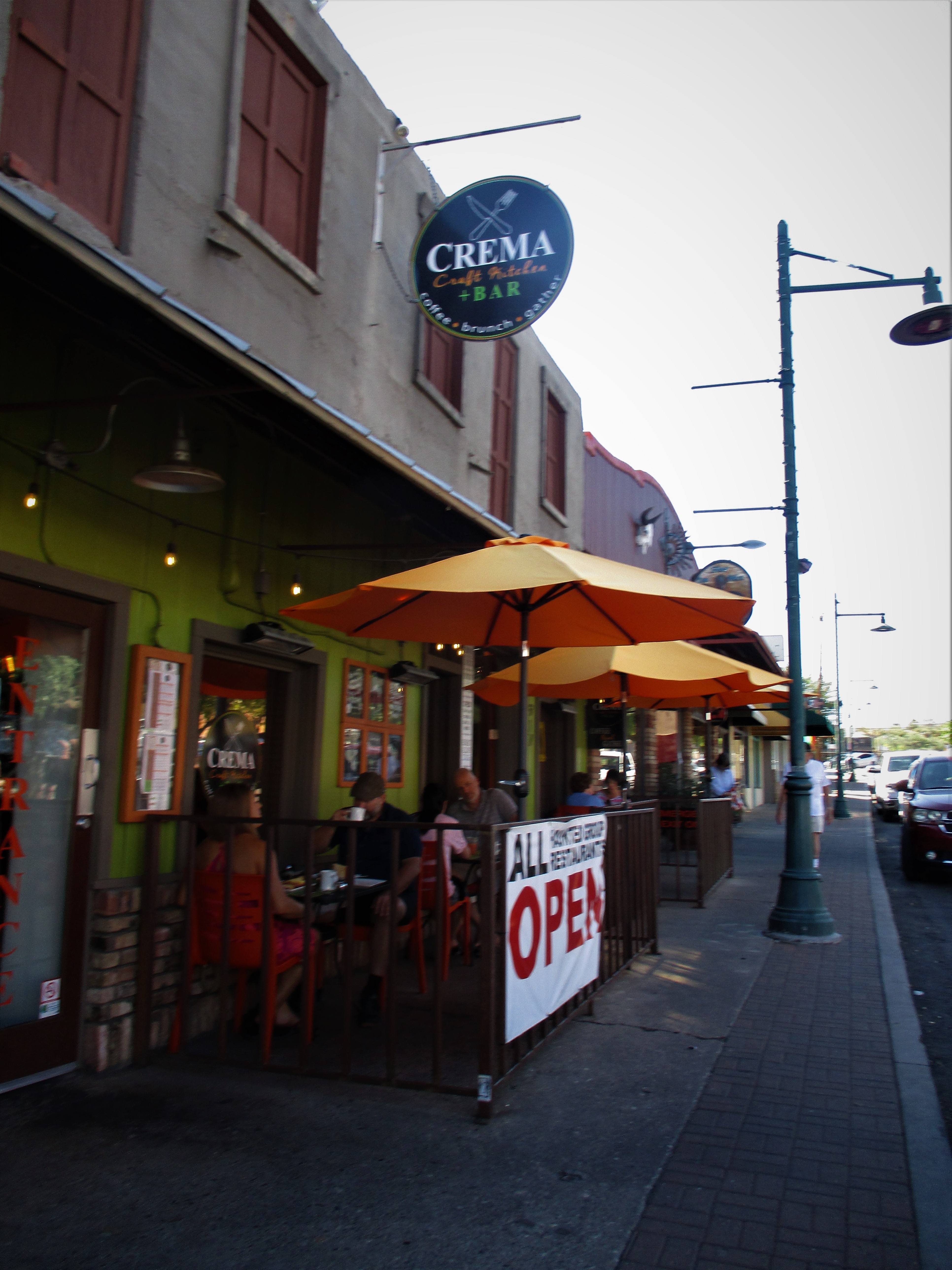
Old Town Cottonwood is recognized in the USA’s National Register of Historic Places. On Main Street, there are buildings that originate from the era of “Prohibition,” and are put to good use today with plenty of wineries and artists in this area.

I had my eyes peeled for rattlesnakes on this trail but didn't see one. Shew!

We found Sycamore Canyon Road a treat to ride on but had to get out early and home by 10 am before it started heating up. Tuzigoot National Monument has pueblo ruins and petroglyphs we enjoyed exploring.

Jerome, AZ

The historic copper mining town of Jerome, Arizona, once known as the wickedest town in the west, was born a copper mining camp, growing from a settlement of tents into a roaring mining community. 
Holly's House of Joy was even closed. It was morning after all.

Jerome was at one time the fourth largest city in Arizona in the 1920’s and looked like a real ghost town when we arrived. Once a thriving mining camp full of miners, bootleggers, gamblers, and prostitutes, now a bustling tourist destination full of artists, musicians, and gift shop proprietors.
Or so they say. Not one business was open on a Saturday morning.

We had visited the state park of mining in Jerome previously and Clarkdale has a great Copper Mining Museum right in town.

Jerome Taxi One Way with a skeleton driver.

Hoping it is cooling down in the valley.


Thursday, October 1, 2020

North Rim of the Grand Canyon

Hiking the Rim

We were glad to have new batteries for the heat on the cold nights at an elevation near 9000 feet. Our last night was 32 F. It would have been warmer 30 miles away at Jacobs Lake with internet. But we liked being closer to the Grand Canyon much better.
First we headed to Bright Angel Point which is the most popular viewpoint at the North Rim of the Grand Canyon, since the other overlooks need quite a few more miles of driving to reach and the Cape Royal Road was closed. A 0.4 mile path leads to the viewing area, starting behind Grand Canyon Lodge in front of the large North Rim parking area,  Although paved, the trail is quite steep in a few places, causing some of those unaccustomed to hiking, especially at this high elevation (8,100 feet), to get out of breath.

e
Even though the temps were cool, the sun was very warm.


After all of the ooooing and ahhhing while walking along the rime trail, we headed over to the Widforss Trailhead.

Like most footpaths on the North Rim of the Grand Canyon, the 5 mile Widforss Trail runs across the plateau passing close to the side of a deep, red-walled ravine (The Transept) for the first half then turning away through the forest before emerging into the open near Widforss Point.

Very few people and lots of views to take in.
The cabins were open overlooking the rim even though the campground never opened this summer. 

We squeezed a ride from the campground to the entrance to the Park one evening. 


A three year drought has dampened the changing of the leaves in Southern Utah. They were drying and turning brown before falling to the ground. We enjoyed the fall colors once we hit Arizona.


Sunday, September 27, 2020

Kanab, Utah

Best Friends

 Before driving 80 miles to the campground in Kanab, we took one more walk along the rim of Bryce Canyon before the short easy drive. Fifty miles down the road we ran into road construction and had a 40 minute wait. Once we were back on the road and getting a little hungry, we arrived in the tiny Hitching Post campground in the middle of town.

Our site had been changed from a nice big pull thru full hookup to a tiny back in with very little room to swing the truck around with only inches to spare while avoiding the giant 5th wheel parked in our way.

Mike was almost in the site when the guy in the back told him he should just start over and come in from the opposite direction. I stepped in and said "No! Wait!" I told Mike to get out and assess the situation and he could decide for himself. Three people talking at once was  making him crazy. He took a deep breath, got out and felt he could manage the situation fine. After a little shimming, he was in perfect. When he went to hook up, there was no sewer hookup. The first guy told him to just go over to the dump station and he could back in again. I said "NO!" We needed time to think. There was nothing else available in Kanab and we were tired and hungry. We decided that we would be fine, with water and electric and could use the campground shower. They gave us a "generous" $3 discount since we didn't get what we reserved.

We needed groceries and thought a trip to the Kanab French Bakery for lunch would be a good treat. They were out of chicken. Our only choices were a croissant with egg and a very peppery quiche. The service looked very slow. so we grabbed a peach turnover to hold us over during the wait.
A day of rest and reading was in order. OH! And grocery shopping and the propane was getting low.

Best Friends Animal Sanctuary

We have missed volunteering during the pandemic, whether is was a state park or Feeding America. We had hoped to volunteer at Best Friends Animal Sanctuary but didn't plan ahead but made a visit for a tour.

Best Friends Animal Sanctuary was founded on Feb 19, 1984 where 1600 animals are cared for and loved on any given day. Most of the animals are dogs and cats; the rest are horses, birds, rabbits, potbellied pigs, and an assortment of other animal

Best Friends began with a group of animal lovers who were unwilling to accept that shelters had no choice but to kill “unadoptable” animals. These future founders of banded together and started rescuing animals from shelters, where the animals’ luck was about to run out. Providing proper care, love and patience, the group of friends helped these homeless animals heal and find loving forever families. The animals who weren’t ready for adoption spent their days romping in the new sanctuary.

The cemetery

The Sanctuary is located in the majestic red-rock country of southern Utah, just outside the town of Kanab. When Hollywood was no longer using the canyon for movies, the owners decided to sell. The group went to the bank for a 1.2 million dollar loan with $5000 down. The bank felt if they defaulted, the bank would get the canyon. The views are spectacular.

Angel Canyon, where the Sanctuary is located, is a mecca for people who love animals and nature. The canyon is world-famous as the backdrop for dozens of movie and TV westerns going back to the 1950s. Thousands of years before cowboys set eyes on Angel Canyon, the ancestral Pueblo (Anasazi) people built a peaceful and enduring culture, leaving many ancient dwellings and petroglyphs.

Our tour guide would bring out animals and give us their stories. This rooster blended in too well with our guide's shirt is diaper trained. 


You’re welcome to tour Best Friends and visit with the animals throughout the year. Full tours take about an hour and a half, and should be scheduled in advance. More than 30,000 visitors come to the Sanctuary each year with 400 paid staff and the money is primarily from donations.

Volunteers are always welcome at the Sanctuary helping the animals to get ready for new homes. Volunteers come from all over, and spend time working with the animals and giving them 
personal attention. Make arrangements to volunteer before you arrive a couple of months in advance which we didn't do but enjoyed the tour.

The food trailer was not open during this time.

Even if you don't volunteer or tour the Sanctuary, there are hiking trail through some scenic landscapes.


Coral Pink Sand Dunes State Park

Coral Pink Sand Dunes is a scenic area with dunes of warm, pink sand 30 minutes from Kanab. The dunes are a favorite place to ride off-highway vehicles. Many people were renting sandboards as they entered the park for $25. Climbing the dunes is a lot of work for a few rides.


We drove to the North Rim on the first day of Fall and the trees were in their full glory.

The fires clear the pines allowing the aspen to flourish.

De Motte Campground


De Motte Campground is 20 miles from the visitor's center at the north rim of the Grand Canyon and 9000 feet elevation making for chilly nights in the 30s. The campground and visitor's center in the national park didn't open this year.

The campground filled up quickly each day. Even though the Full sign was up, we would see many people driving though to make sure it was really full. Mike saw a man on a motorcycle circling as it was getting dark. He flagged him down and invited him to use the tent pad on our large corner lot. He was thrilled even though we warned that it get quite cold at night. He didn't want to drive the 30 miles back to Jacobs Lake and he had a sleeping bag with a rating down to 0 degrees. It was 32F in the morning and he didn't sleep well. The rating must have been for 0 C degrees, his feet were cold.


Every time we stepped out of the trailer the bright fall colors of the aspen were startling. The drive from Kanab through Jacobs Lake kept getting better and better.


Tuesday, September 22, 2020

On to Bryce Canyon National Park

South Central Utah!

Grand Staircase-Escalante National Monument spans approximately one million acres of America's public lands. the Monument is a diverse geologic treasure speckled with monoliths, slot canyons, natural bridges, and arches. Due to its remote location and rugged landscape, the monument was one of the last places in the continental United States to be mapped. 

Grand Staircase-Escalante was reduced by nearly 47 percent through a presidential proclamation in 2017 (and the nearby Bears Ears National Monument was reduced by 85 percent). This move flies in the face of a 100-plus-year legacy, taking the public lands that belong to all of us and opening them up to being sold to private industry, most commonly oil, gas, coal, logging, grazing, and development.

I can't imagine watching as the land is developed for these causes. It is truly a masterpiece.
We can't be tourists all of the time since this is our lives. Our stay in Escalante City, a small ranching town nestled along Utah’s Scenic Byway 12 is always a treat.

We enjoy walking from the campground on the edge of town to our favorite Organic food store for fresh baguettes, tomatoes and mozzarella. With only 850 residents, the largest town for 70 miles in all directions bringing a unique charm to this corner of Southern Utah. This part of Southern Utah is famous for its slot canyons — twisting, turning narrows carved into the rock by water and wind over the millennia. We skipped the hiking for reading and catching up on what was happening in the world. And of course a visit to Georgie's food truck was is order.

Escalante Petrified Forest State Park is just 2 miles out of town on a lake and only $16/night for full hookups. which would have also been a great place to stay.

Bryce Canyon National Park

As we entered the gate to Bryce Canyon National Park, the ranger asked what our plans were for our trailer. Fortunately we had reservations. We arrived early and lucked out, the people from the previous 
night were pulling out as we arrived. 
We got a tip from Laura and Kevin that write https://www.chapter3travels.com while visiting a National Park, to get out later in the day for that hike to avoid the crowds. We arrived at the Fairyland Turnout and waited a few minutes for a parking space plus it was getting cooler and the shadows from the setting sun made some nice pictures.


Queen's Garden Trail to Navajo Trail


We got an early morning start on our hike from Wall Street on the Navajo Trail to the Queen's Garden. It was 39 degrees as we were leaving the campground but we were removing our layers in no time.

 Many people looked like they were in over their heads as they walked down the trail. The Queen's Garden is considered the easiest but at least one person a day needs to be rescued from this trail. One older lady in her bedazzled flip flops, no water and not conditioned for the 8000 feet elevation looked like she would be the one assisted by the park's rangers out of the canyon that day.

Going down.


With two choices up the Navajo Loop, .6 miles on the Two Bridges side or we chose the .7 mile Wall Street side. Yet I still stopped frequently with the excuse to take another photo.


We dropped rapidly into the hoodoos 

The slot canyon at the bottom of Wall Street.


A hoodoo that, presumably, resembles a statue of Queen Victoria provides a “destination” for the 1.8 mile round trip down and up of the Queen’s Garden trail.  It’s a 500 foot side 
trail right after a human-made tunnel through a hoodoo wall.


When we walked to the trailhead from the campground and there was plenty of parking available. But was packed on our return. We were tired and opted for a shuttle which took us to the visitor's center. We could have stayed on and ridden to Ruby's Inn and then back if we wanted to be sure to have a seat. We thought no problem and stopped at the visitor's center.
The shuttle buses run every 10-15 minutes with half of the seats removed, windows open and people wearing masks. The only problem is trying to get on at the visitor's center after the bus was full from Ruby's Inn. We were second in line after a group of four in front of us. The door opened and a park staff person said they only had room for two. I quickly said we would go if they didn't want to take the seats. There were 18 more people waiting as we drove away. 

The 8 mile Red Mountain Bicycle Trail runs through the scenic red Canyons, known as Little Bryce and connects to the path through Bryce Canyon. The trail is surrounded by towering cliffs and pines forest. 

That was a jam packed few days. We were glad to have gotten a couple of days in the Park's campground but thought Red Canyon NF campground looked great right along the bike path. On to Kanab for a little rest and refueling.


Cuenca, Ecuador

An Expat Destination The morning after returning to Quito we boarded an hour-long flight to Cuenca. Driving up the winding roads would have ...